We currently offer four interactive maps of the city of Harrisburg in 1900-1940, which allow the visitor to explore Harrisburg in different ways.
Click on the images below to visit the interactive maps.
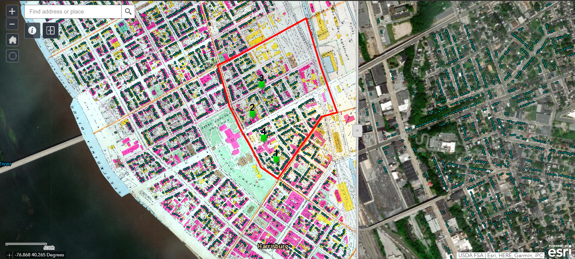
Old Eighth Ward Street View Swipe Map (compare to modern city)
This interactive web app allows the viewer to swipe and compare 1901 map with modern day aerial photo of the same location. Contains street view historical photographs of the Eighth Ward / Capitol Park between 1890 and 1930. The visitor can search by address, browse households to view residents, and read stories about the Old Eighth. Geolocator allows mobile users to locate themselves while viewing the map.
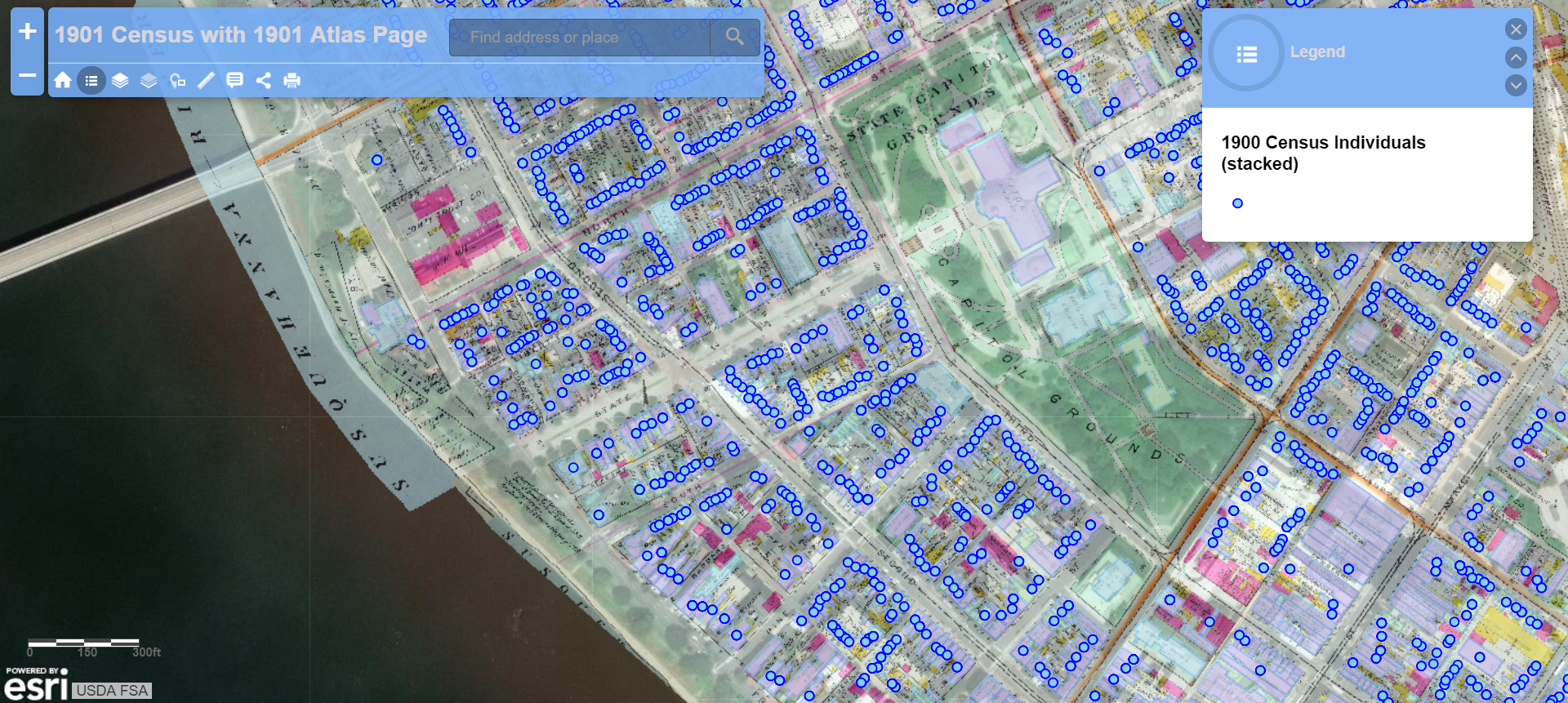
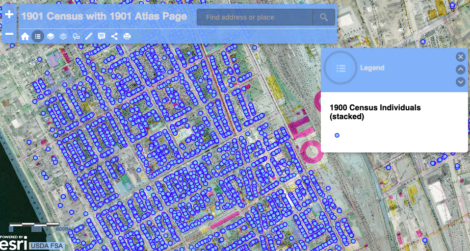
Harrisburg 1901 (searchable by address)
A map designed to search for a specific place in the city. In addition to its search feature, the user has the options of browsing by household, changing layers and base maps, changing opacity of layers, and measuring distances.
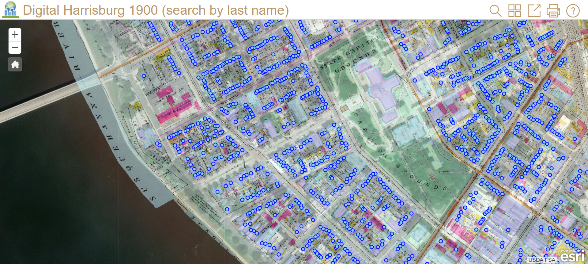
Harrisburg 1901 (searchable by name)
A map designed to search for a specific person or ancestor who lived in the city in 1900. In addition to its search feature, the user has the option of browsing by households and changing base maps.
Harrisburg Redlined: The Zoning Practices that Segregated a City
An interactive story map about the unjust practices of racial redlining of Harrisburg in 1935-1936. Map allows the visitors to view the security grading of Harrisburg and its surrounding communities into four grades–“Hazardous,” “Definitely Declining,” “Still Desirable,” and “Best”–according to the character of housing and pouplation.

A Guide to Searching for Individuals
The maps and the data they contain were developed as a collaboration between faculty and students at Messiah University and Harrisburg University of Science and Technology. The Historical Society of Dauphin County generously provided JPEG scans of the entire 1901 Harrisburg Title Company Atlas (the layer visible as the historical map of the city). Messiah students created a complete database of the population in 1900, and GIS students from Messiah and Harrisburg University created building polygons and individual census record points in GIS mapped to the level of individual properties. (For ready-made static maps of the city and its population at different points in time, visit the datasets page)
